 |
| PI Ralph Williams and intern Jeremy Castagno discussing the test. |
On a hunt to find a fellow intern, I was pleasantly surprised to find Jeremy Castagno and Ralph Williams in the control room of the flight area preparing a test.
I let out a quiet squeal of excitement and left to quickly grab the camera to document the latest and greatest test in the Autonomy Incubator.
The goal for today was to assess the VICONTM coordinate system. Our software team built a program that allows for the computer to emulate a GPS and inform the quadrotor of where it is in the world.
"We essentially pretend that we're a GPS device, send it through their receiver, and it actually believes it! It's really cool," Jeremy explained. What is most interesting about it is the fact that the drone cannot tell whether it is using real GPS or our emulated version!
 |
| The computer program can mask itself as a GPS system. |
Normally, you would operate in a cartesian coordinate space (X, Y, Z), but since we are using GPS we have to translate it. Additionally, in order to command and communicate to Pixhawk® you would use North East Down (NED), which is its own internal cartesian coordinate system.
"As the VICONTM sees that its moving in this area, we convert those coordinates to GPS coordinates, send it to the drone, and then it turns those GPS coordinates into its own internal cartesian system."
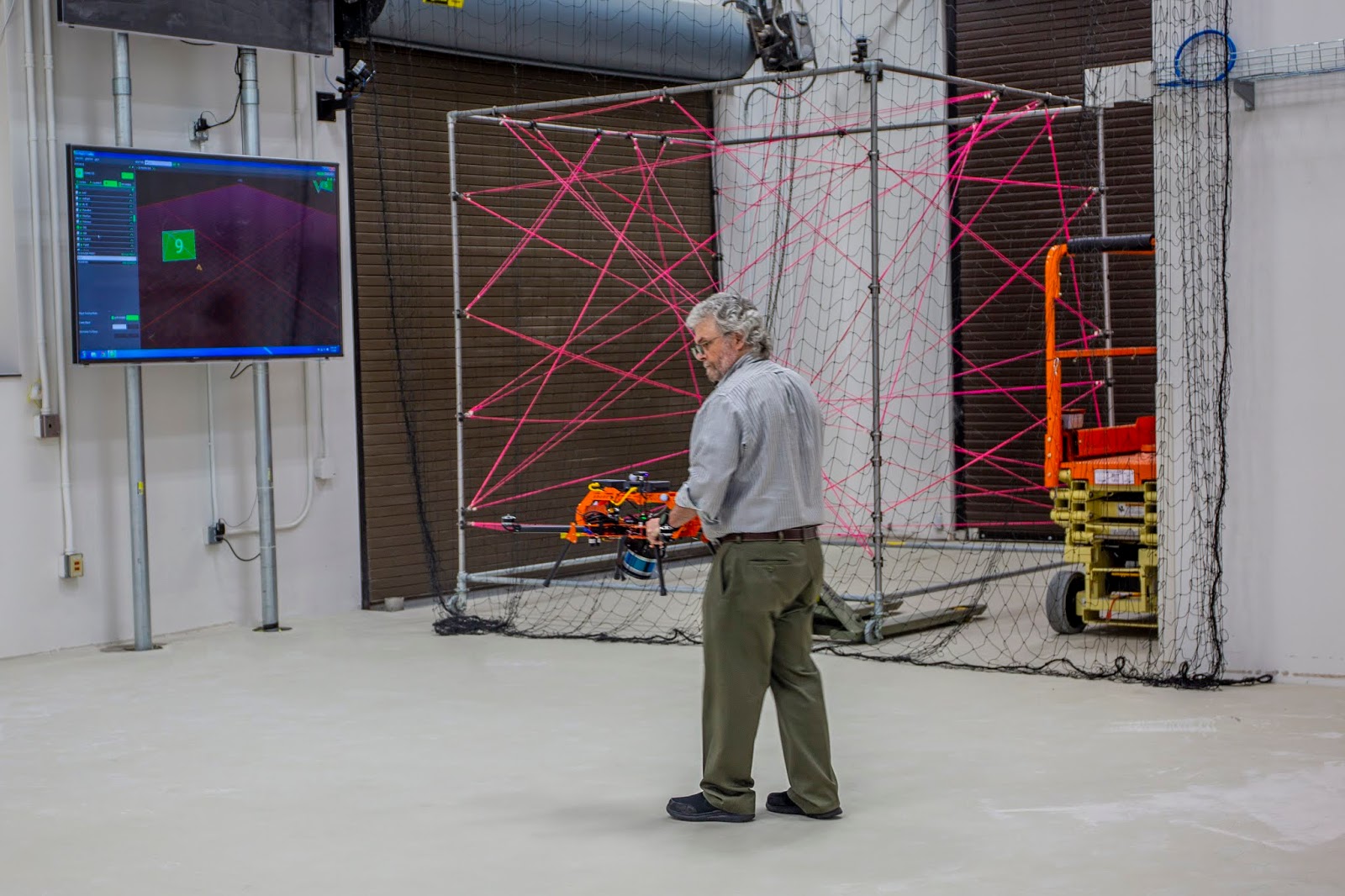 |
| Ralph walked the drone around the area to see the effectiveness of the coordinate systems. |
All in all, their main goal is basically to just make sure that they can understand and translate between the VICONTM coordinate system and its own internal coordinate system. They need to be aligned and effectively working.
Pixhawk is a trademark of Lorenz Meir.
No comments:
Post a Comment